

NewJersey Raster Maps from NOAA
NewJersey Raster Maps from NOAA
Real-time Charts for Real-time Navigation!
Experience the zest of Boating, Sailing & Fishing the marine waters of Lake Tahoe with the real-time NOAAs Raster Nautical Charts Overlay.
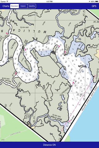
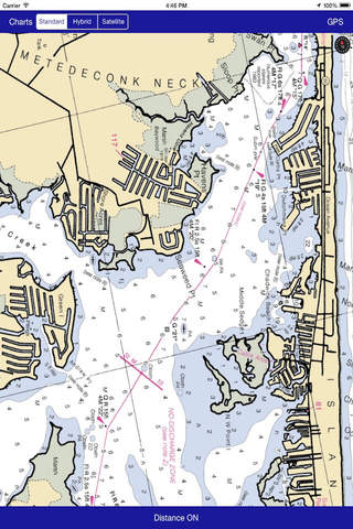
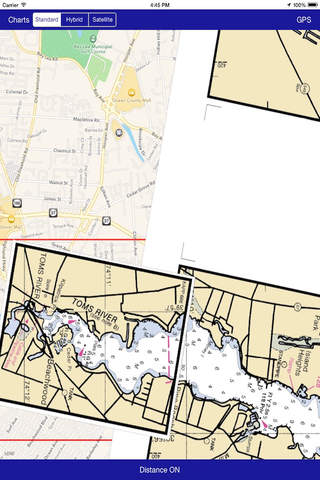
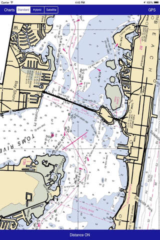
Suitable range of nautical charts arranged as per their geo-co-ordinates that covers ample Miami region for boating. All charts are derived from NOAAs latest edition and are ready to use on the map.
This new version of map contains very user-friendly interface and a soft exploration of charts for easy navigation.
Map Features:
Easy to use map overlay management.
Select Charts by Scale.
GPS functionality.
Change map types according to the best possible visibility on device to clear appearance with Nautical Charts.
Find Distance between two points on map
These maps are designed to simplify the navigation by that much and tried to keep it simple for boaters and sailors.
We welcome your precious feedback to make this map more useful to you and other boaters in a way that every boater or sailor must be helpful.
Disclaimer:
Maps and map related products available on this app, including but not limited to imagery, data, and data sources are hereby specifically identified as being unsuitable for use in navigation."
The Information Provided on this app is for Informational Purposes Only, "NOT TO BE USED FOR NAVIGATION".